File:Suva, Fiji 52.jpg

Dimension de ci prevision: 800 × 533 pixeles. Altri resolutiones: 320 × 213 pixeles | 640 × 427 pixeles | 1,024 × 683 pixeles | 1,280 × 853 pixeles | 2,560 × 1,707 pixeles | 5,184 × 3,456 pixeles.
Original file (5,184 × 3,456 pixeles, dimension del file: 8.19 MB, tip MIME: image/jpeg)
Descrition
| Descrition |
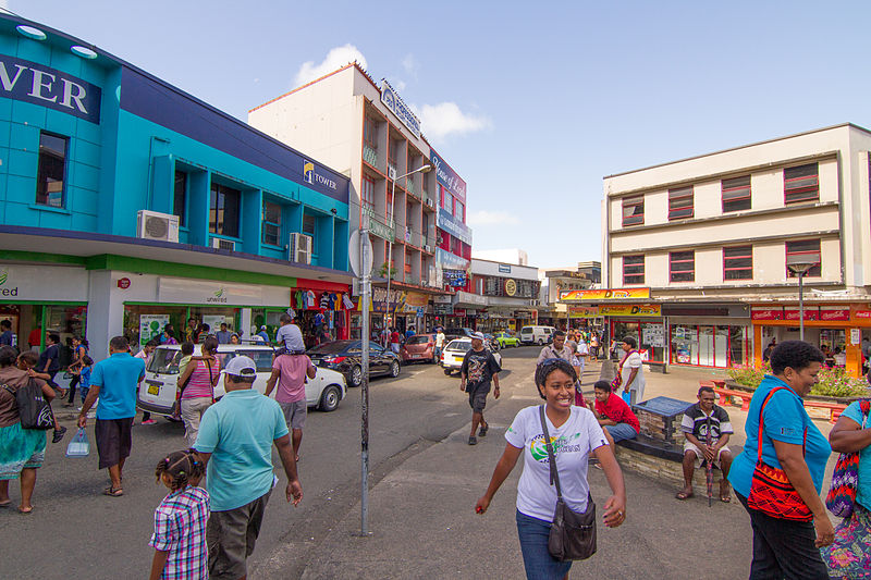
English: Suva, Fiji |
| Date | |
| Fonte | Propri ovre |
| Autor | Maksym Kozlenko |
| Camera location | | View this and other nearby images on: OpenStreetMap |
|---|
Autorisation
I, the copyright holder of this work, hereby publish it under the following license:
This file is licensed under the Creative Commons Attribution-Share Alike 4.0 International license.
- Vu es líber:
- distribuer – a copiar, distribuer e transmisser li labor
- remixter – adaptar li ovre
- Sub li conditiones quam seque:
- atribution – Vu deve dar li credite convenent, provider un catenun por li autorisation, e indicar si changes esset fat.
Vu posse far in qualcunc forme rasonabil, ma ne de forma que suggeste que li autorisator indossa vu o tui usu.
- distribuer in conditiones de egal autorisation – Si vu remixter, transformar, o constructer sur li materiale, vu deve distribuer tui contributiones sub li autorisation identic o campatabil quam li original.
Versiones del file
Clacca a un date/témpore por vider ti version.
| Version de | Miniatura | Dimensiones | Usator | Comentarie | |
|---|---|---|---|---|---|
| actual | 05:44, 1 februar 2015 | | 5,184 × 3,456 (8.19 MB) | Maxim75 | User created page with UploadWizard |
Usu del file
Li sequent págine usa ti file:
Usu global del file
Li altri wikis a sequer usa ti-ci file:
- Usu in af.wikipedia.org
- Usu in ar.wikipedia.org
- Usu in ary.wikipedia.org
- Usu in arz.wikipedia.org
- Usu in ast.wikipedia.org
- Usu in ba.wikipedia.org
- Usu in be.wikipedia.org
- Usu in bg.wikipedia.org
- Usu in bs.wikipedia.org
- Usu in ca.wikipedia.org
- Usu in ceb.wikipedia.org
- Usu in cs.wikipedia.org
- Usu in cy.wikipedia.org
- Usu in da.wikipedia.org
- Usu in de.wikipedia.org
- Usu in de.wikivoyage.org
- Usu in en.wikipedia.org
- Usu in en.wikivoyage.org
- Usu in eo.wikipedia.org
- Usu in es.wikipedia.org
- Usu in es.wikivoyage.org
- Usu in eu.wikipedia.org
- Usu in fi.wikipedia.org
- Usu in fr.wikipedia.org
- Usu in fr.wikivoyage.org
- Usu in ga.wikipedia.org
- Usu in gl.wikipedia.org
- Usu in ha.wikipedia.org
- Usu in he.wikivoyage.org
- Usu in ht.wikipedia.org
- Usu in hu.wikipedia.org
- Usu in ia.wikipedia.org
- Usu in it.wikipedia.org
- Usu in it.wikivoyage.org
- Usu in ja.wikivoyage.org
- Usu in ko.wikipedia.org
- Usu in mr.wikipedia.org
Vider plu del usu global de ti-ci file.