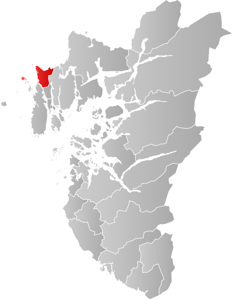
File:NO 1106 Haugesund.svg

Size of this PNG preview of this SVG file: 465 × 600 pixeles. Altri resolutiones: 186 × 240 pixeles | 372 × 480 pixeles | 595 × 768 pixeles | 794 × 1,024 pixeles | 1,588 × 2,048 pixeles | 635 × 819 pixeles.
Original file ((file SVG, nominalmen 635 × 819 pixeles, mesura de file: 178 KB))
| Descrition | |||
| Date | |||
| Fonte | Propri ovre | ||
| Autor | Jon Harald Søby | ||
| Permission: (Reusant ti-ci file) |
|
||
| SVG genesis |
Versiones del file
Clacca a un date/témpore por vider ti version.
| Version de | Miniatura | Dimensiones | Usator | Comentarie | |
|---|---|---|---|---|---|
| actual | 01:34, 23 decembre 2019 | | 635 × 819 (178 KB) | Jay1279 | update for 2020 municipal changes |
| 18:07, 22 januar 2007 |  | 544 × 712 (105 KB) | Jon Harald Søby | {{User:Jon Harald Søby/Kartlisens|Haugesund|Rogaland}} |
Usu del file
Li sequent págine usa ti file:
Usu global del file
Li altri wikis a sequer usa ti-ci file:
- Usu in af.wikipedia.org
- Usu in ar.wikipedia.org
- Usu in azb.wikipedia.org
- Usu in bjn.wikipedia.org
- Usu in bpy.wikipedia.org
- Usu in bs.wikipedia.org
- Usu in ca.wikipedia.org
- Usu in da.wikipedia.org
- Usu in de.wikipedia.org
- Usu in en.wikipedia.org
- Usu in eo.wikipedia.org
- Usu in es.wikipedia.org
- Usu in eu.wikipedia.org
- Usu in fa.wikipedia.org
- Usu in fo.wikipedia.org
- Usu in fr.wikipedia.org
- Usu in hu.wikipedia.org
- Usu in hy.wikipedia.org
- Usu in id.wikipedia.org
- Usu in it.wikipedia.org
- Usu in ja.wikipedia.org
- Usu in ka.wikipedia.org
- Usu in ko.wikipedia.org
- Usu in la.wikipedia.org
- Usu in li.wikipedia.org
- Usu in nds.wikipedia.org
- Usu in nl.wikipedia.org
- Usu in nn.wikipedia.org
- Usu in no.wikipedia.org
- Usu in pl.wikipedia.org
- Usu in pnb.wikipedia.org
- Usu in pt.wikipedia.org
- Usu in ro.wikipedia.org
- Usu in ru.wikipedia.org
- Usu in sl.wikipedia.org
Vider plu del usu global de ti-ci file.