File:Japan honshu map.svg

Size of this PNG preview of this SVG file: 413 × 373 pixeles. Altri resolutiones: 266 × 240 pixeles | 532 × 480 pixeles | 850 × 768 pixeles | 1,134 × 1,024 pixeles | 2,268 × 2,048 pixeles.
Original file ((file SVG, nominalmen 413 × 373 pixeles, mesura de file: 973 KB))
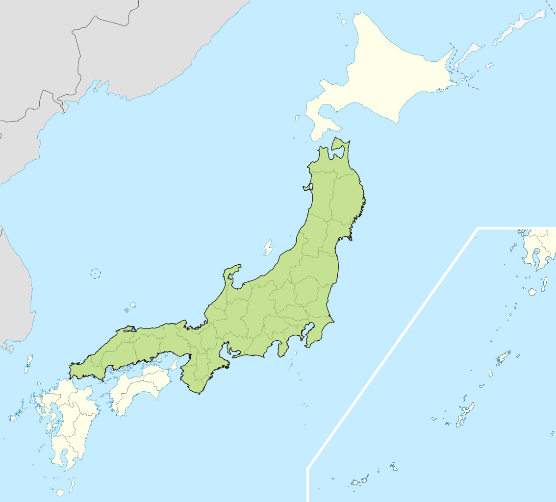
| Descrition | Small map of Honshu, Japan |
| Date | (UTC) |
| Fonte | |
| Autor |
|
I, the copyright holder of this work, hereby publish it under the following licenses:
Ti file is autorisat sub li autorisation Creative Commons - Atribution-Distribution in Conditiones de Egal Autorisation 3.0 Non-Adaptat.
- Vu es líber:
- distribuer – a copiar, distribuer e transmisser li labor
- remixter – adaptar li ovre
- Sub li conditiones quam seque:
- atribution – Vu deve dar li credite convenent, provider un catenun por li autorisation, e indicar si changes esset fat.
Vu posse far in qualcunc forme rasonabil, ma ne de forma que suggeste que li autorisator indossa vu o tui usu.
- distribuer in conditiones de egal autorisation – Si vu remixter, transformar, o constructer sur li materiale, vu deve distribuer tui contributiones sub li autorisation identic o campatabil quam li original.

|
Permission es concedet por copiar, distribuer e/o modificar ti document sub li conditiones del Autorisation de Documentation Líber del GNU, Version 1.2 o qualcunc version posteriori publicat per li Free Software Foundation; che nequant Section Ínvariant, nequant Textu de Covriment, e nequant Textu de Contra-Covriment. Un copie del autorisation es includet in li section nominat Autorisation de Documentation Líber del GNU. |
Vu posse selecter li autorisation de tui selection.
Original upload log
This image is a derivative work of the following images:
- File:Japan_location_map_with_side_map_of_the_Ryukyu_Islands.svg licensed with Cc-by-sa-3.0, GFDL
- 2010-10-30T13:53:18Z NordNordWest 413x373 (948276 Bytes) Liancourts Rock boundary
- 2010-09-17T01:15:53Z Dinamik 413x373 (1638123 Bytes) medium color for disputed territories
- 2010-03-21T11:41:34Z Chumwa 413x373 (1597074 Bytes) Präfekturgrenzen bereinigt
- 2010-03-20T13:33:30Z Chumwa 413x373 (1793386 Bytes) Trennlinie zu Nebenkarte etwas verbreitert
- 2010-03-20T09:50:05Z Chumwa 413x373 (2010954 Bytes) == {{int:filedesc}} == {{Information |Description= {{de|Postionskarte von [[:de:Japan|Japan]]}} Quadratische Plattkarte. Bei Nutzung der Hauptkarte mit den Hauptinseln gelten folgende geographische Begrenzungen für die (Ges
Uploaded with derivativeFX
Versiones del file
Clacca a un date/témpore por vider ti version.
| Version de | Miniatura | Dimensiones | Usator | Comentarie | |
|---|---|---|---|---|---|
| actual | 04:07, 2 may 2011 | | 413 × 373 (973 KB) | Jkwchui | {{Information |Description=Small map of Honshu, Japan |Source=*File:Japan_location_map_with_side_map_of_the_Ryukyu_Islands.svg |Date=2011-05-02 04:05 (UTC) |Author=*File:Japan_location_map_with_side_map_of_the_Ryukyu_Islands.svg: [[:de:User:Ch |
Usu del file
Li sequent págine usa ti file:
Usu global del file
Li altri wikis a sequer usa ti-ci file:
- Usu in ace.wikipedia.org
- Usu in af.wikipedia.org
- Usu in als.wikipedia.org
- Usu in am.wikipedia.org
- Usu in ar.wikipedia.org
- Usu in ast.wikipedia.org
- Usu in az.wikipedia.org
- Usu in ban.wikipedia.org
- Usu in ba.wikipedia.org
- Usu in be-tarask.wikipedia.org
- Usu in be.wikipedia.org
- Usu in bg.wikipedia.org
- Usu in bm.wikipedia.org
- Usu in bs.wikipedia.org
- Usu in ca.wikipedia.org
- Usu in ceb.wikipedia.org
- Usu in diq.wikipedia.org
- Usu in en.wikipedia.org
- Usu in es.wikipedia.org
- Usu in et.wikipedia.org
- Usu in eu.wikipedia.org
- Usu in fa.wikipedia.org
- Usu in fo.wikipedia.org
- Usu in fr.wikipedia.org
- Usu in fr.wiktionary.org
- Usu in ga.wikipedia.org
- Usu in gd.wikipedia.org
- Usu in gl.wikipedia.org
- Usu in hak.wikipedia.org
- Usu in ha.wikipedia.org
- Usu in he.wikipedia.org
- Usu in hu.wikipedia.org
- Usu in hy.wikipedia.org
- Usu in ia.wikipedia.org
- Usu in id.wikipedia.org
- Usu in ilo.wikipedia.org
- Usu in io.wikipedia.org
- Usu in is.wikipedia.org
- Usu in it.wikipedia.org
- Usu in it.wikivoyage.org
- Usu in ja.wikipedia.org
- Usu in jv.wikipedia.org
- Usu in kab.wikipedia.org
- Usu in ka.wikipedia.org
- Usu in km.wikipedia.org
- Usu in ko.wikipedia.org
- Usu in ky.wikipedia.org
Vider plu del usu global de ti-ci file.