File:Germany location map August 1992 - June 1993.svg

Original file ((file SVG, nominalmen 1,075 × 1,273 pixeles, mesura de file: 450 KB))
Descrition
| Descrition |
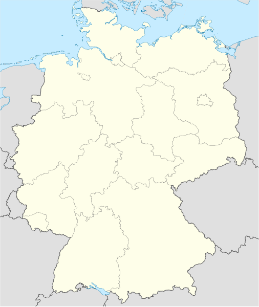
Deutsch: Positionskarte der Bundesrepublik Deutschland. Diese Karte zeigt die Bundesrepublik im Gebietsstand zwischen August 1992 bis Juni 1993.
Quadratische Plattkarte, N-S-Streckung 150 %. Geographische Begrenzung der Karte:
English: Location map of Federal Republic of Germany. Map shows Germany as of April August 1992 till June 1993.
Equirectangular projection, N/S stretching 150 %. Geographic limits of the map:
|
||
| Date | Created in 2009 | ||
| Fonte | own work, based on File:Germany location map.svg | ||
| Autor | TUBS | ||
| Permission: (Reusant ti-ci file) |
I, the copyright holder of this work, hereby publish it under the following licenses:
Ti file is autorisat sub li autorisation Creative Commons - Atribution-Distribution in Conditiones de Egal Autorisation 3.0 Non-Adaptat.
Vu posse far in qualcunc forme rasonabil, ma ne de forma que suggeste que li autorisator indossa vu o tui usu.
Vu posse selecter li autorisation de tui selection. |
||
| Other versions |
Bundesrepublik Deutschland (vor 1990 nur West-Deutschland):
Deutsche Demokratische Republik (mit BRD im Ausschnitt):
Ostdeutschland (vor 1990 Deutsche Demokratische Republik):
Deutschland zwischen Mai 1945 und Oktober 1949:
Thematisch:
Deutsches Reich (1918–1945) (best used with this template (de)):
|


_23_May_1949_-_6_Oct_1949.svg)


_location_map.svg)
_location_map_2013.svg)


Versiones del file
Clacca a un date/témpore por vider ti version.
| Version de | Miniatura | Dimensiones | Usator | Comentarie | |
|---|---|---|---|---|---|
| actual | 23:12, 22 januar 2009 | | 1,075 × 1,273 (450 KB) | TUBS | {{Information |Description= |Source= |Date= |Author= |Permission= |other_versions= }} |
| 12:56, 19 januar 2009 |  | 1,075 × 1,273 (450 KB) | TUBS | Lenßen-Elbtalaue noch zu MV | |
| 21:59, 18 januar 2009 |  | 1,075 × 1,273 (451 KB) | TUBS | == {{int:filedesc}} == {{Information |Description= {{de|Positionskarte der Bundesrepublik Deutschland. Diese Karte zeigt die Bundesrepublik im Gebietsstand zwischen August 1992 bis Juni 1993.}} Quadratische Plattkarte, N-S-Streckung 15 |
Usu del file
Hay nequant págine que usa ti file.
Usu global del file
Li altri wikis a sequer usa ti-ci file:
- Usu in de.wikipedia.org
- Usu in en.wikipedia.org
- Usu in pl.wikipedia.org
- Usu in pl.wikibooks.org
- Usu in pt.wikipedia.org