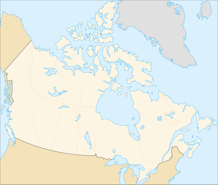
File:Canada (geolocalisation).svg

Size of this PNG preview of this SVG file: 706 × 599 pixeles. Altri resolutiones: 283 × 240 pixeles | 566 × 480 pixeles | 905 × 768 pixeles | 1,207 × 1,024 pixeles | 2,413 × 2,048 pixeles | 1,084 × 920 pixeles.
Original file ((file SVG, nominalmen 1,084 × 920 pixeles, mesura de file: 94 KB))
.svg)
| Descrition |
English: cropped version of Image:Carte administrative du Canada.svg for map location. (Lambert conformal conic projection from The Atlas of Canada) |
| Date | |
| Fonte | Image:Carte administrative du Canada.png. |
| Autor | STyx |
| Permission: (Reusant ti-ci file) |
This file is licensed under the Creative Commons Attribution-Share Alike 4.0 International, 3.0 Unported, 2.5 Generic, 2.0 Generic and 1.0 Generic license.
Vu posse far in qualcunc forme rasonabil, ma ne de forma que suggeste que li autorisator indossa vu o tui usu.
|
| Other versions |
Derivative works of this file: |
Locations
Le cadrage est x=80px, y=166px, height=920, width=1084. Quelques positions :
| x | y | |
| pôle Nord | 475.5 | -159.5 |
| Alert | 565 | 9 |
| Vancouver | 77 | 678 |
| Montréal | 807 | 798 |
| Winnipeg | 442 | 753 |
| Iqaluit | 718 | 396 |
Versiones del file
Clacca a un date/témpore por vider ti version.
| Version de | Miniatura | Dimensiones | Usator | Comentarie | |
|---|---|---|---|---|---|
| actual | 01:48, 7 februar 2007 | | 1,084 × 920 (94 KB) | STyx | retouche mineure |
| 01:41, 7 februar 2007 |  | 1,084 × 920 (94 KB) | STyx | {{Created with Inkscape}} {{Information |Description= *{{fr}} Version recadrée et épurée de Image:Carte administrative du Canada.svg pour la géolocation du Canada. Le cadrage est x=80px, y=166px, height=920, width=1084. Quelques positions : <cent |
Usu del file
Hay nequant págine que usa ti file.
Usu global del file
Li altri wikis a sequer usa ti-ci file:
- Usu in de.wikipedia.org
- Usu in fr.wikipedia.org
.svg)