File:Blick über die Altstadt von Pirna (Panorama of the historic centre of Pirna) - geograph.org.uk - 7781.jpg
Nequant resolution max alt disponibil.
Blick_über_die_Altstadt_von_Pirna_(Panorama_of_the_historic_centre_of_Pirna)_-_geograph.org.uk_-_7781.jpg (640 × 480 pixeles, dimension del file: 89 KB, tip MIME: image/jpeg)
Descrition
| Descrition |
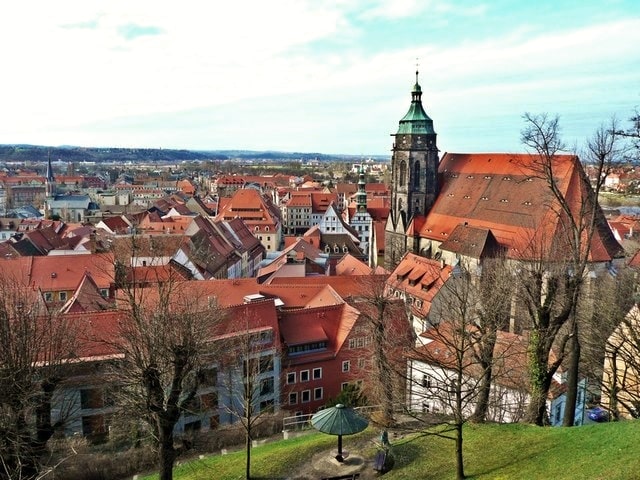
English: Pirna: historic centre.
Deutsch: Pirna: Blick über die historische Altstadt. |
||
| Date | |||
| Fonte | From geo-en.hlipp.de; transferred by User:oxyman using geograph_org2commons. | ||
| Autor | Norbert Kaiser | ||
| Permission: (Reusant ti-ci file) |
This file is licensed under the Creative Commons Attribution-Share Alike 2.0 Generic license. Atribution: Norbert Kaiser
Vu posse far in qualcunc forme rasonabil, ma ne de forma que suggeste que li autorisator indossa vu o tui usu.
|

_-_geograph.org.uk_-_7781.jpg)
| Camera location | | View this and other nearby images on: OpenStreetMap |
|---|
_-_geograph.org.uk_-_7781.jpg¶ms=050.961476_N_0013.945703_E_globe:Earth_type:camera_heading:292.00&language=ie)
| Annotations | This image is annotated: View the annotations at Commons |
Versiones del file
Clacca a un date/témpore por vider ti version.
| Version de | Miniatura | Dimensiones | Usator | Comentarie | |
|---|---|---|---|---|---|
| actual | 22:36, 4 octobre 2021 | | 640 × 480 (89 KB) | SamsonBVB | Qualität |
| 23:42, 21 marte 2010 |  | 640 × 480 (98 KB) | File Upload Bot (Magnus Manske) | == Summary == {{Information |Description=Blick �ber die Altstadt von Pirna (Panorama of the historic centre of Pirna) |Source=From [http://geo-en.hlipp.de/photo/7781 geo-en.hlipp.de]; transferred by User:oxyman using [http://toolserver.org/~magnus/g |
Usu del file
Li sequent págine usa ti file:
Usu global del file
Li altri wikis a sequer usa ti-ci file:
- Usu in an.wikipedia.org
- Usu in ar.wikipedia.org
- Usu in azb.wikipedia.org
- Usu in ba.wikipedia.org
- Usu in be.wikipedia.org
- Usu in ca.wikipedia.org
- Usu in ceb.wikipedia.org
- Usu in ce.wikipedia.org
- Usu in cs.wikipedia.org
- Usu in de.wikipedia.org
- Usu in de.wikivoyage.org
- Usu in en.wikivoyage.org
- Usu in eo.wikipedia.org
- Usu in es.wikipedia.org
- Usu in et.wikipedia.org
- Usu in fi.wikipedia.org
- Usu in fj.wikipedia.org
- Usu in he.wikipedia.org
- Usu in hu.wikipedia.org
- Usu in id.wikipedia.org
- Usu in io.wikipedia.org
- Usu in ku.wikipedia.org
- Usu in ky.wikipedia.org
- Usu in lld.wikipedia.org
- Usu in lv.wikipedia.org
- Usu in nl.wikipedia.org
- Usu in nn.wikipedia.org
- Usu in no.wikipedia.org
- Usu in pl.wikipedia.org
- Usu in pl.wikivoyage.org
- Usu in ro.wikipedia.org
- Usu in ru.wikipedia.org
- Usu in sh.wikipedia.org
- Usu in sr.wikipedia.org
- Usu in sv.wikipedia.org
- Usu in tt.wikipedia.org
- Usu in uk.wikipedia.org
- Usu in uz.wikipedia.org
- Usu in vo.wikipedia.org
- Usu in www.wikidata.org
- Usu in zh.wikipedia.org
_-_geograph.org.uk_-_7781.jpg)