File:COL orthographic (San Andrés and Providencia special).svg

Size of this PNG preview of this SVG file: 550 × 550 pixeles. Altri resolutiones: 240 × 240 pixeles | 480 × 480 pixeles | 768 × 768 pixeles | 1,024 × 1,024 pixeles | 2,048 × 2,048 pixeles.
Original file ((file SVG, nominalmen 550 × 550 pixeles, mesura de file: 1.09 MB))
.svg)
Descrition
| Descrition | |
| Date | |
| Fonte | Propri ovre |
| Autor | Addicted04 |
| SVG genesis |
Autorisation
I, the copyright holder of this work, hereby publish it under the following license:
Ti file is autorisat sub li autorisation Creative Commons - Atribution-Distribution in Conditiones de Egal Autorisation 3.0 Non-Adaptat.
- Vu es líber:
- distribuer – a copiar, distribuer e transmisser li labor
- remixter – adaptar li ovre
- Sub li conditiones quam seque:
- atribution – Vu deve dar li credite convenent, provider un catenun por li autorisation, e indicar si changes esset fat.
Vu posse far in qualcunc forme rasonabil, ma ne de forma que suggeste que li autorisator indossa vu o tui usu.
- distribuer in conditiones de egal autorisation – Si vu remixter, transformar, o constructer sur li materiale, vu deve distribuer tui contributiones sub li autorisation identic o campatabil quam li original.
Versiones del file
Clacca a un date/témpore por vider ti version.
| Version de | Miniatura | Dimensiones | Usator | Comentarie | |
|---|---|---|---|---|---|
| actual | 06:55, 6 januar 2015 | | 550 × 550 (1.09 MB) | Denniss | Reverted to version as of 22:05, 19 July 2014 |
| 04:52, 6 januar 2015 |  | 470 × 450 (86 KB) | Mondolkiri1 | Mapa da Colômbia na UNASUL / Mapa de Colombia en UNASUR | |
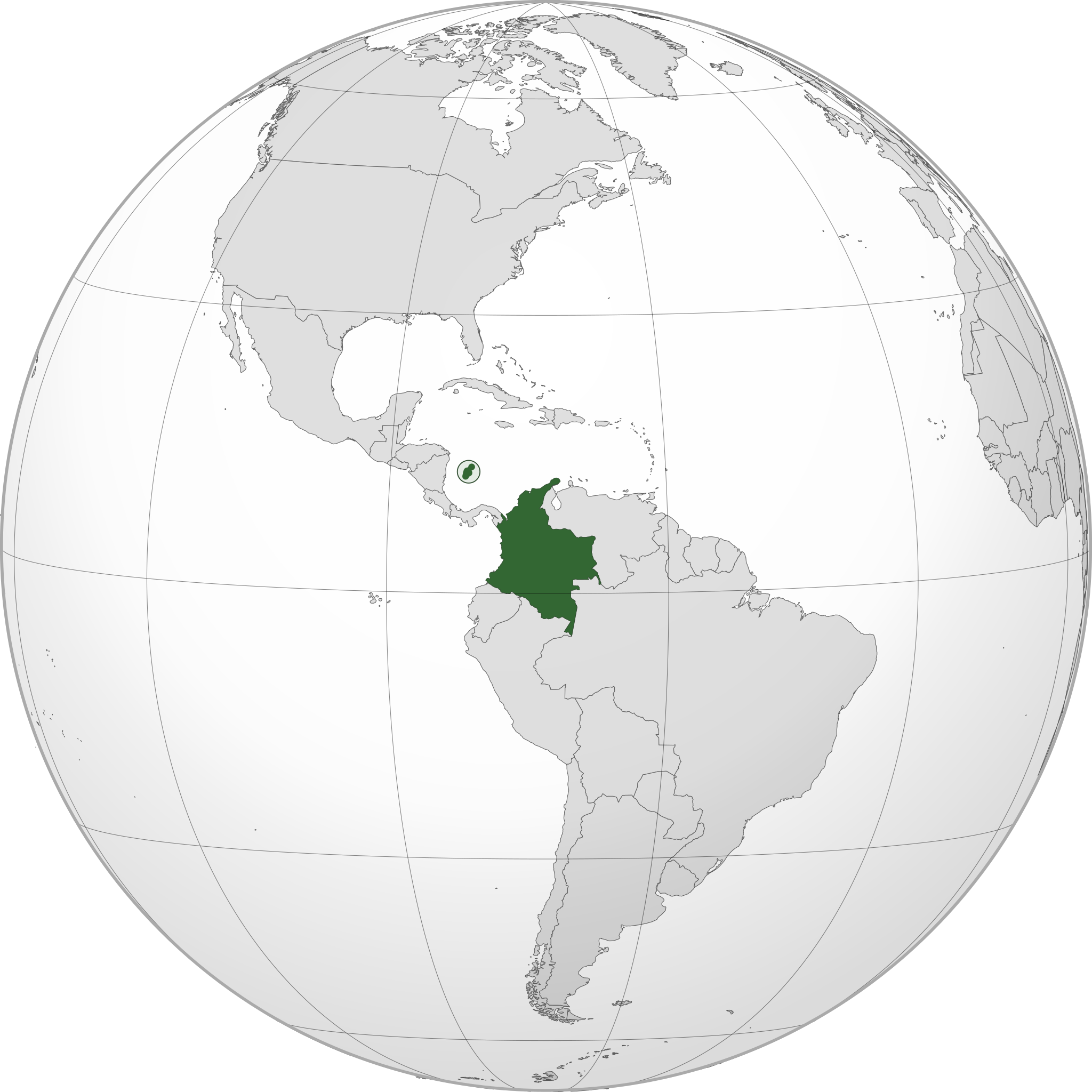
| 22:05, 19 julí 2014 |  | 550 × 550 (1.09 MB) | Roboting | El Archipiélago de San Andrés, Providencia y Santa Catalina: Son un territorio oficial de Colombia. | |
| 15:50, 15 januar 2014 |  | 550 × 550 (1.09 MB) | Addicted04 | User created page with UploadWizard |
Usu del file
Li sequent págine usa ti file:
Usu global del file
Li altri wikis a sequer usa ti-ci file:
- Usu in ami.wikipedia.org
- Usu in ang.wikipedia.org
- Usu in arc.wikipedia.org
- Usu in ar.wikipedia.org
- كولومبيا
- بوابة:كولومبيا
- بوابة:كولومبيا/واجهة
- مستخدم:جار الله/قائمة صور مقالات العلاقات الثنائية
- معاملة المثليين في كولومبيا
- العلاقات الأمريكية الكولومبية
- العلاقات الأنغولية الكولومبية
- العلاقات الكورية الجنوبية الكولومبية
- العلاقات الإريترية الكولومبية
- العلاقات السويسرية الكولومبية
- العلاقات الألمانية الكولومبية
- العلاقات الكولومبية الليختنشتانية
- العلاقات البوليفية الكولومبية
- العلاقات الكولومبية الموزمبيقية
- العلاقات الألبانية الكولومبية
- العلاقات البلجيكية الكولومبية
- العلاقات الإثيوبية الكولومبية
- العلاقات البيلاروسية الكولومبية
- العلاقات الطاجيكستانية الكولومبية
- العلاقات الروسية الكولومبية
- العلاقات الرومانية الكولومبية
- العلاقات الأرجنتينية الكولومبية
- العلاقات الغامبية الكولومبية
- العلاقات القبرصية الكولومبية
- العلاقات السيراليونية الكولومبية
- العلاقات الكولومبية النيبالية
- العلاقات الكولومبية الليبيرية
- العلاقات التشيكية الكولومبية
- العلاقات الكولومبية الميانمارية
- العلاقات العراقية الكولومبية
- العلاقات البريطانية الكولومبية
- العلاقات الكندية الكولومبية
- العلاقات الكوبية الكولومبية
- العلاقات الكورية الشمالية الكولومبية
- العلاقات الكوستاريكية الكولومبية
- العلاقات الكولومبية المالية
- العلاقات الكولومبية النيجيرية
- العلاقات الكولومبية الناوروية
- العلاقات الكولومبية اللاتفية
- العلاقات الكولومبية اللوكسمبورغية
- العلاقات الكولومبية المصرية
- العلاقات الكولومبية الهندوراسية
- العلاقات الكولومبية الليسوتوية
- العلاقات الكولومبية النيكاراغوية
- العلاقات الكولومبية المولدوفية
- العلاقات الكولومبية المالاوية
- العلاقات الكولومبية الكينية
Vider plu del usu global de ti-ci file.
.svg)
.svg)